Twinmotion Cloud is built to be an intuitive and an easy-to-use application that offers real time interaction during presentations. The menus are organized to allow for quick access for the most commonly used features.
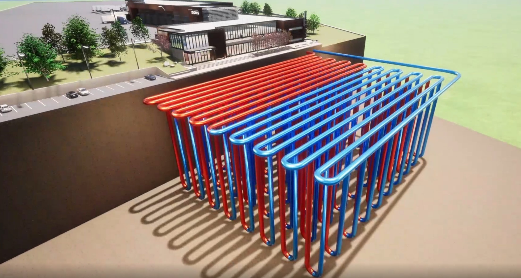
This project demonstrates the underground geothermal design as well as the ground elevation lines. It shows how the geothermal design would be implemented below the site. The main objective was to show how we interpret the existing site conditions and produce a design that meets all of the clients’ expectations.
Year : 2022
Project Name : Geo Thermal Visualization
Location : King County, Washington State
Geothermal Visualization
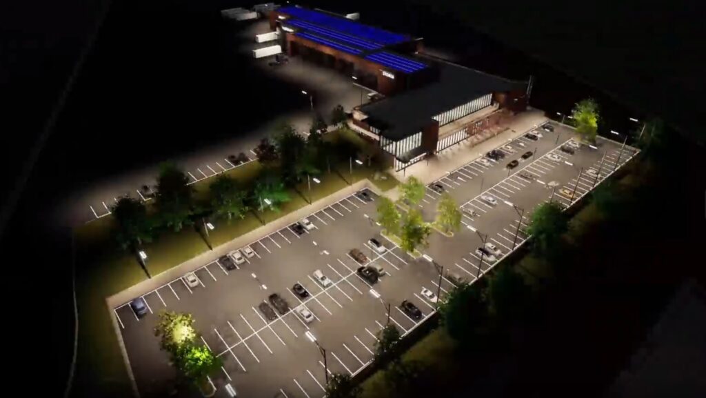
Skip to 1:25 in the video to see the pull back of this unique assignment. Showcased in real time through Twinmotion clients are able to see the true scale and impact of this cutting-edge facility.